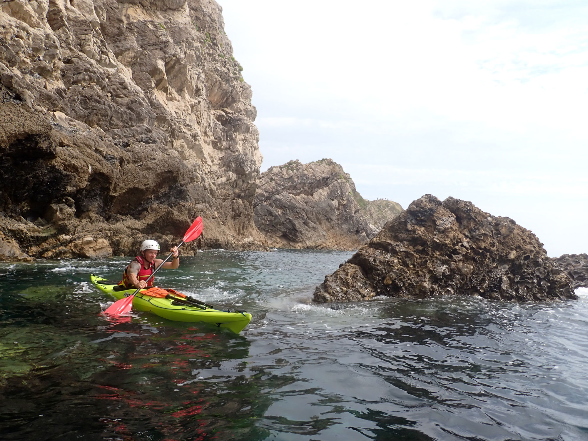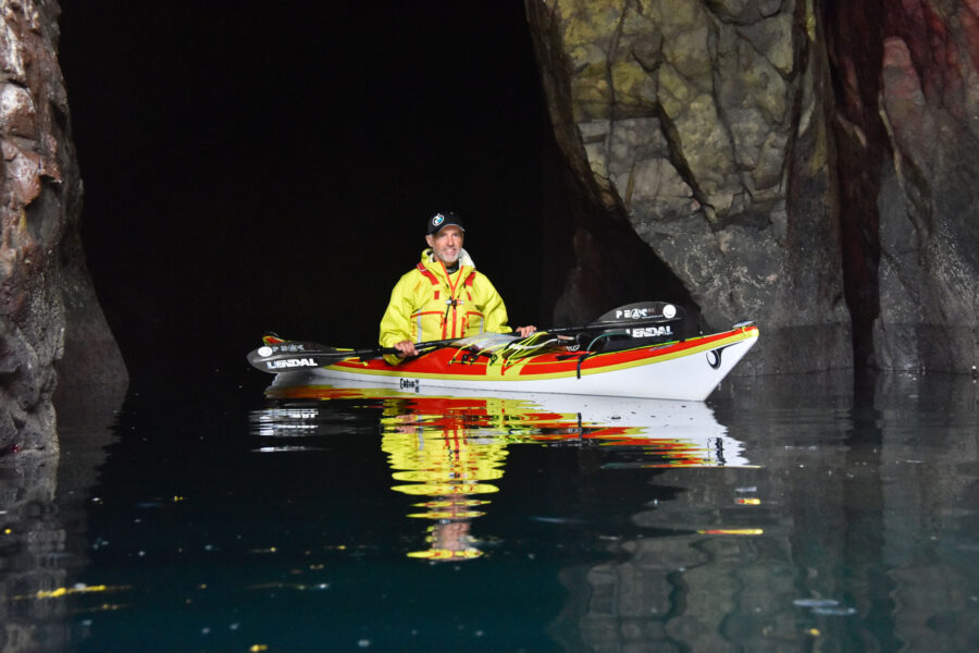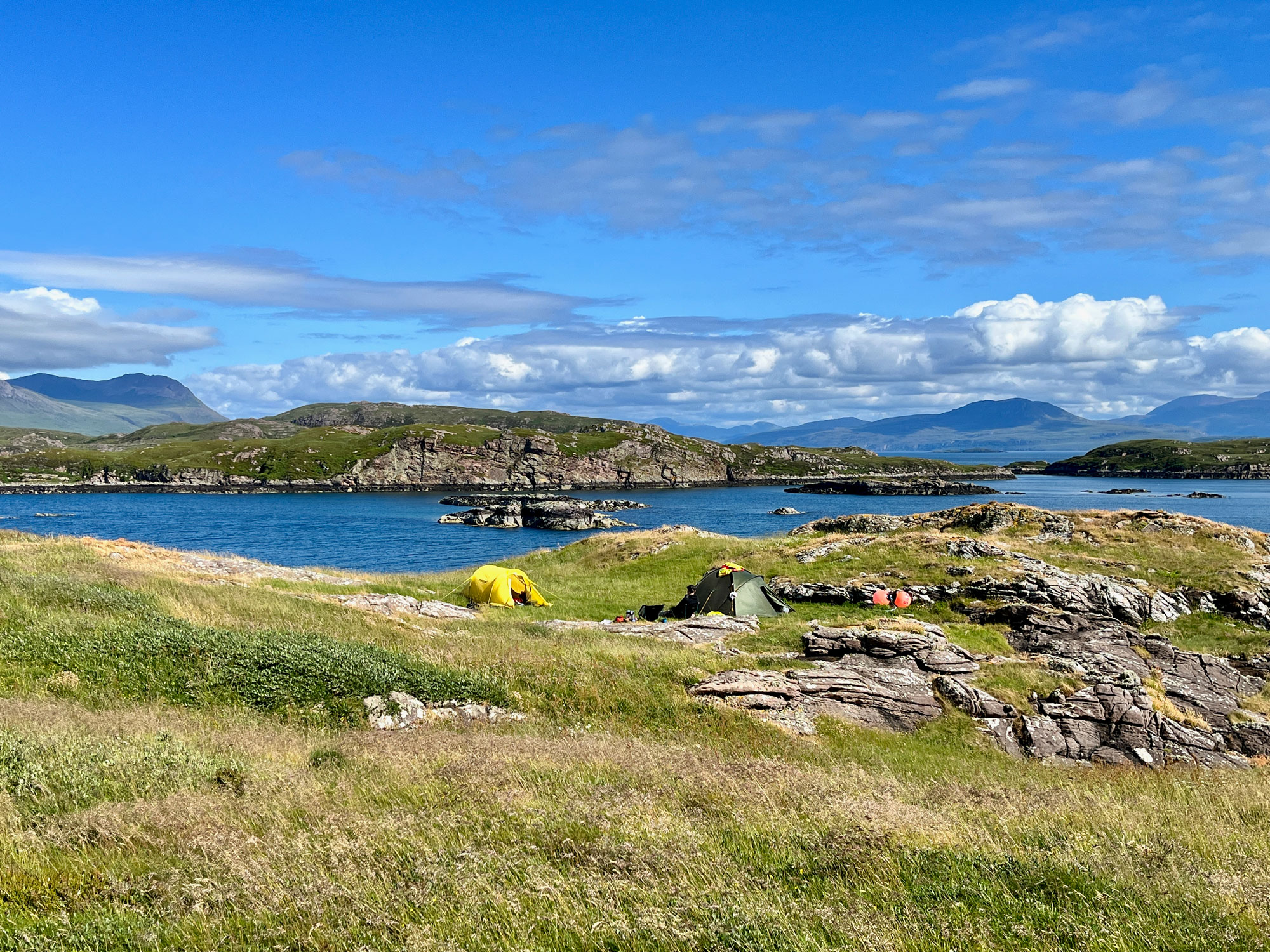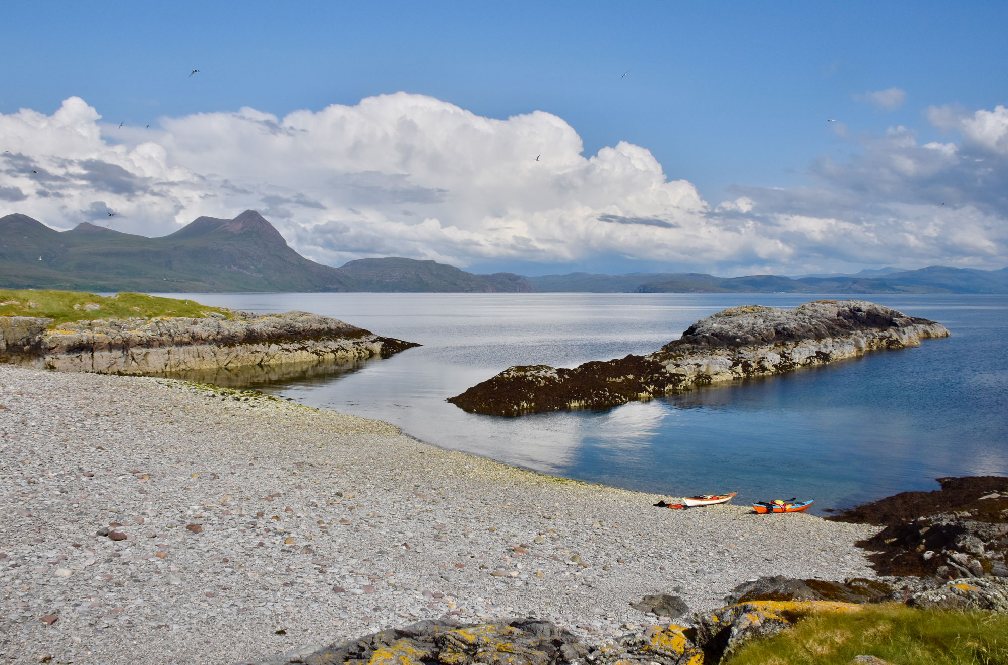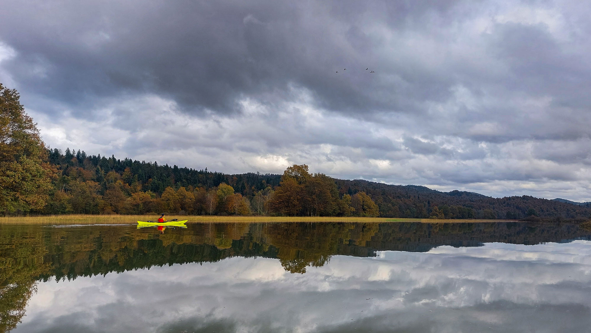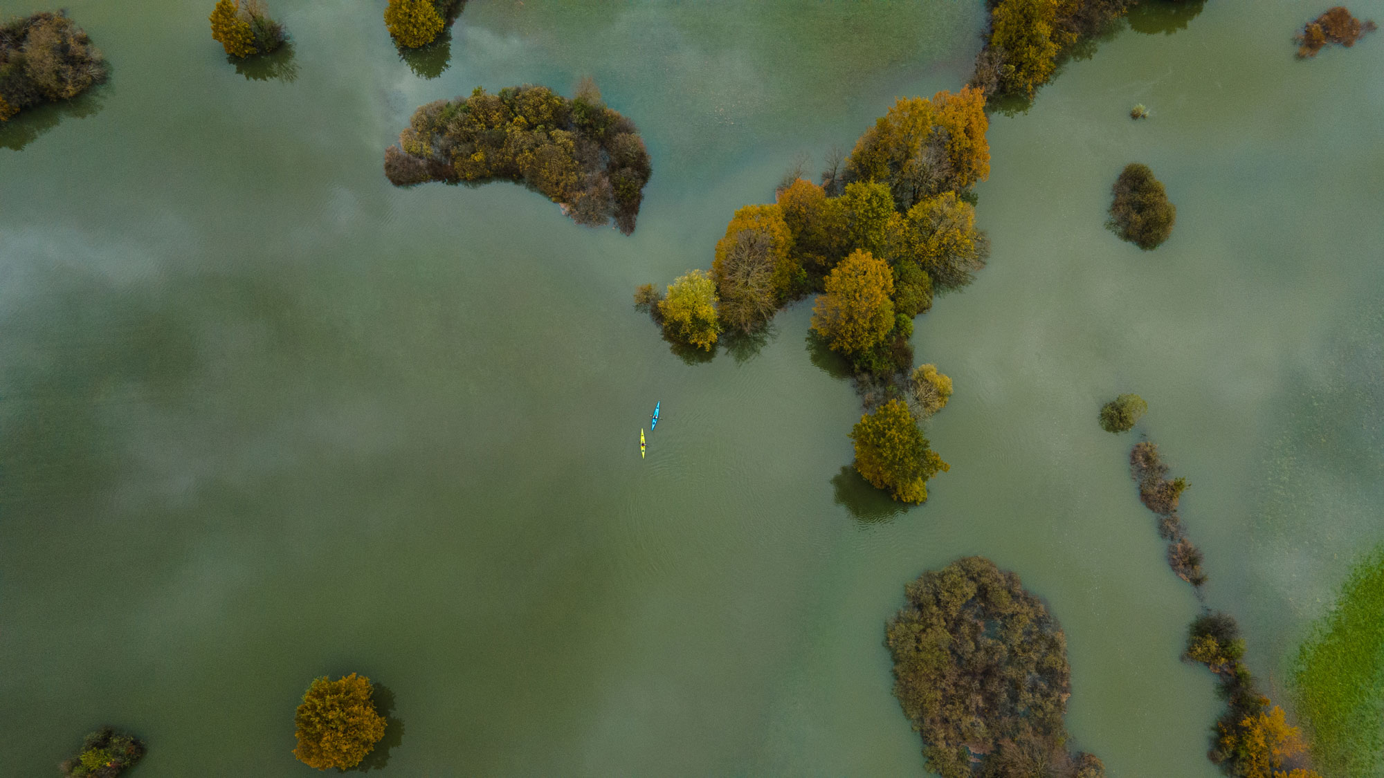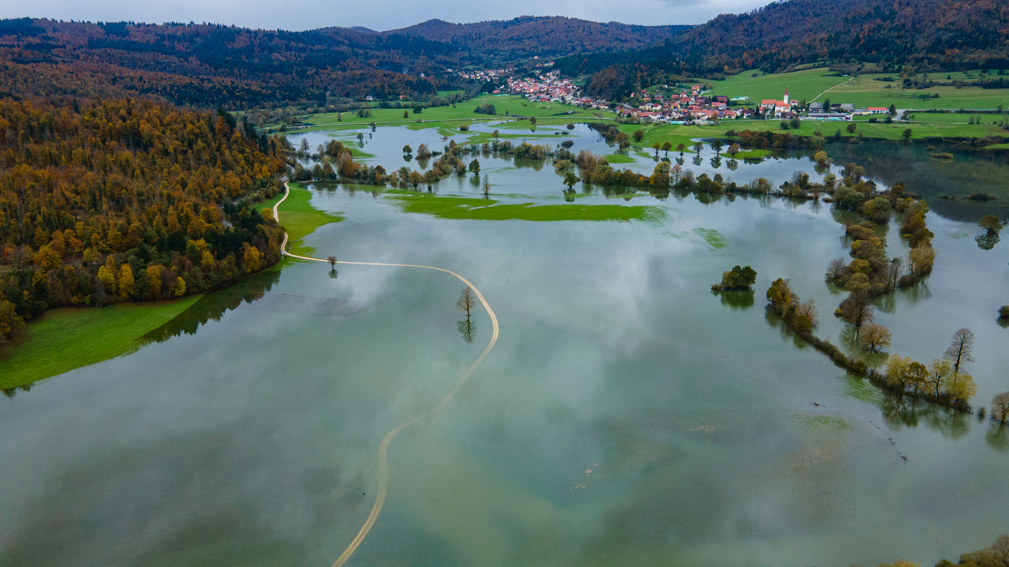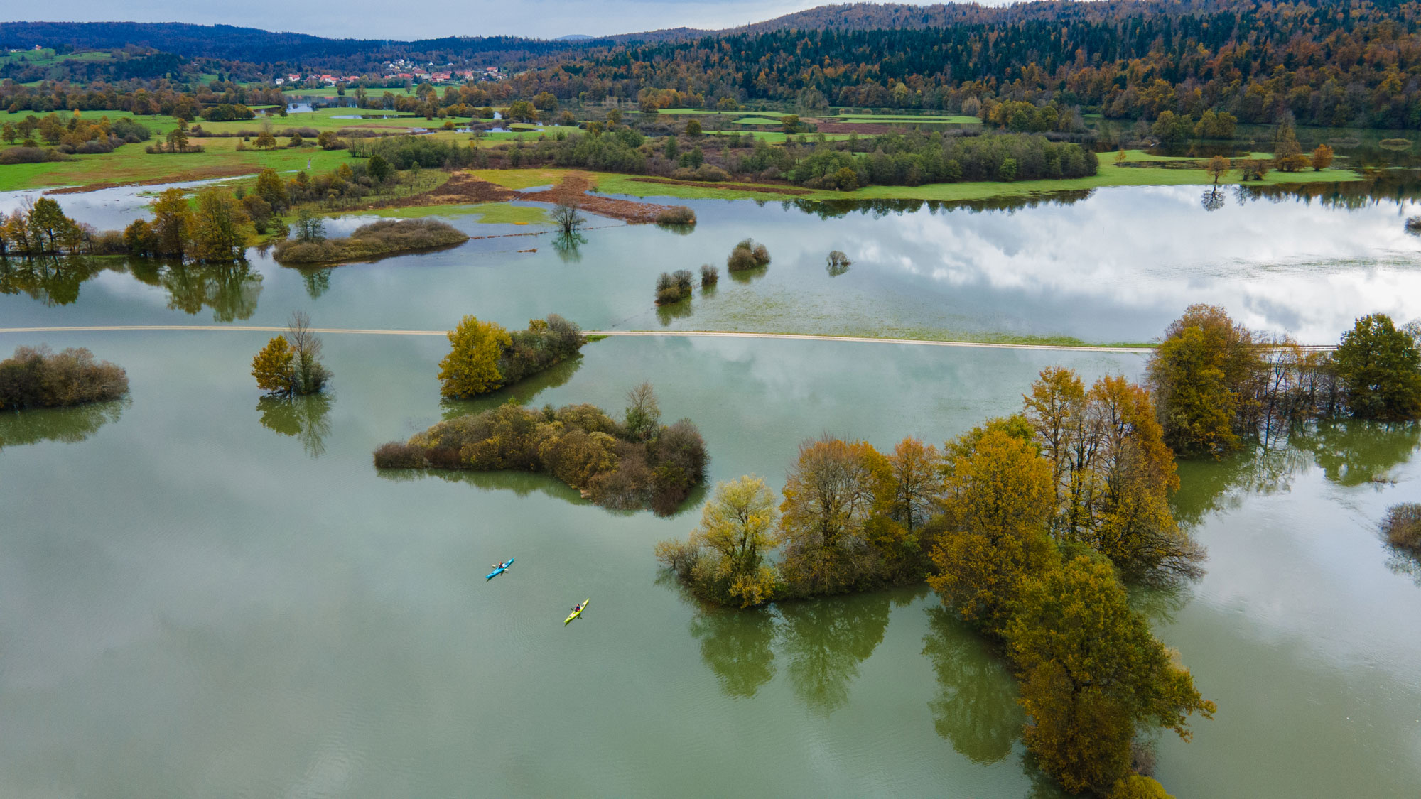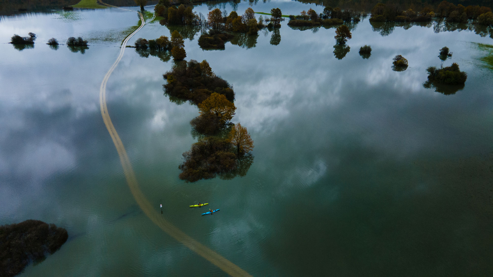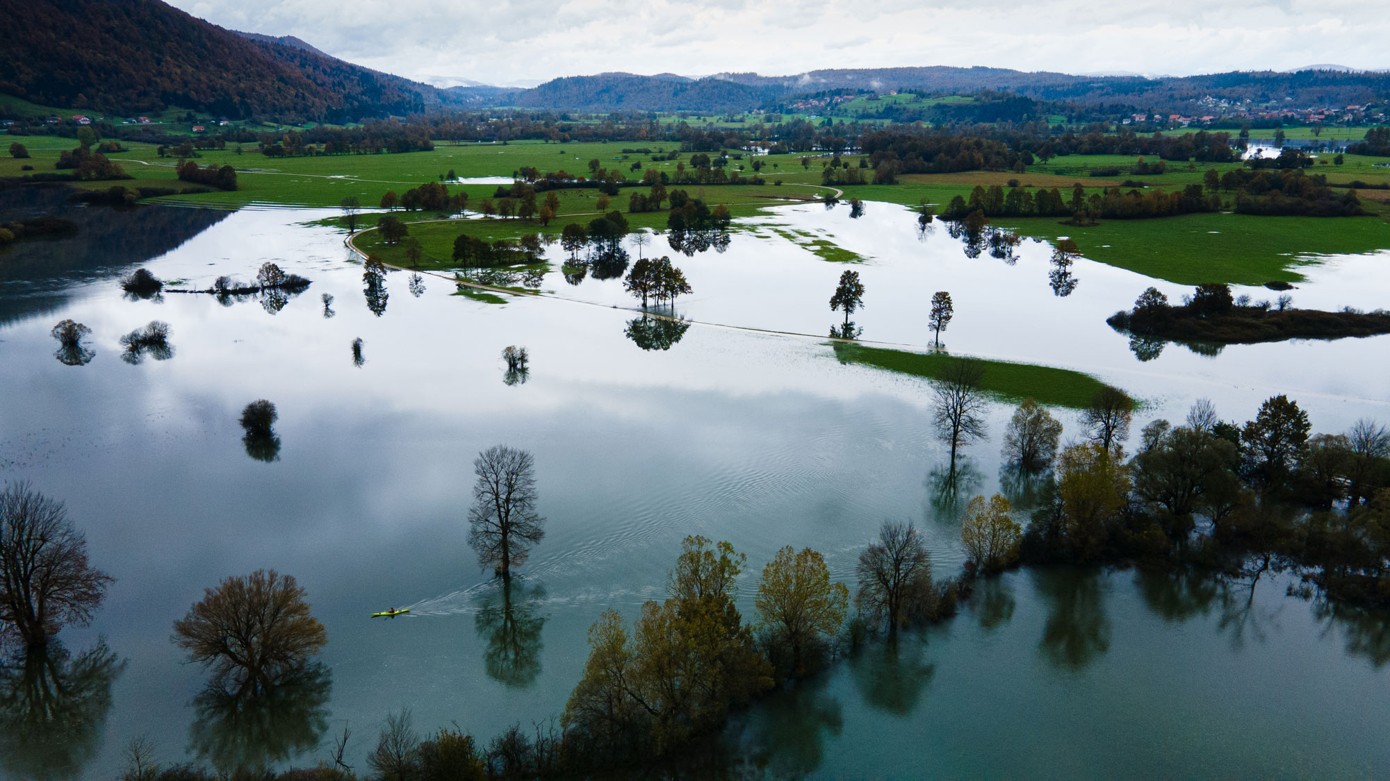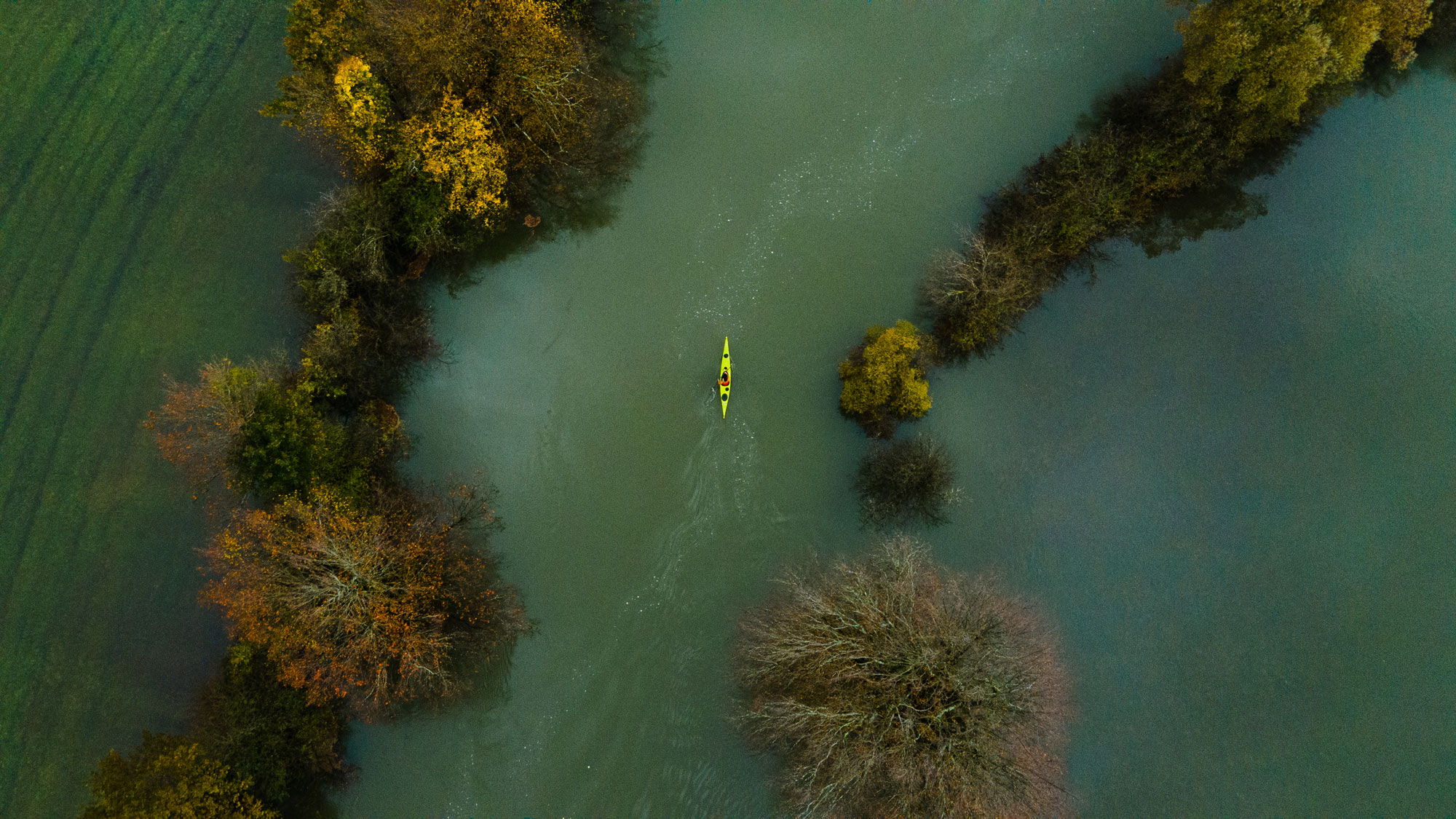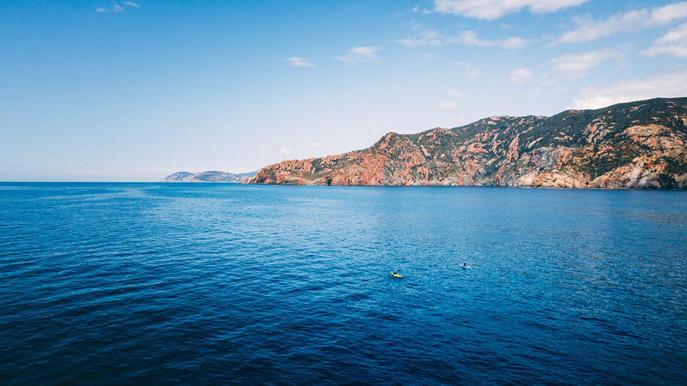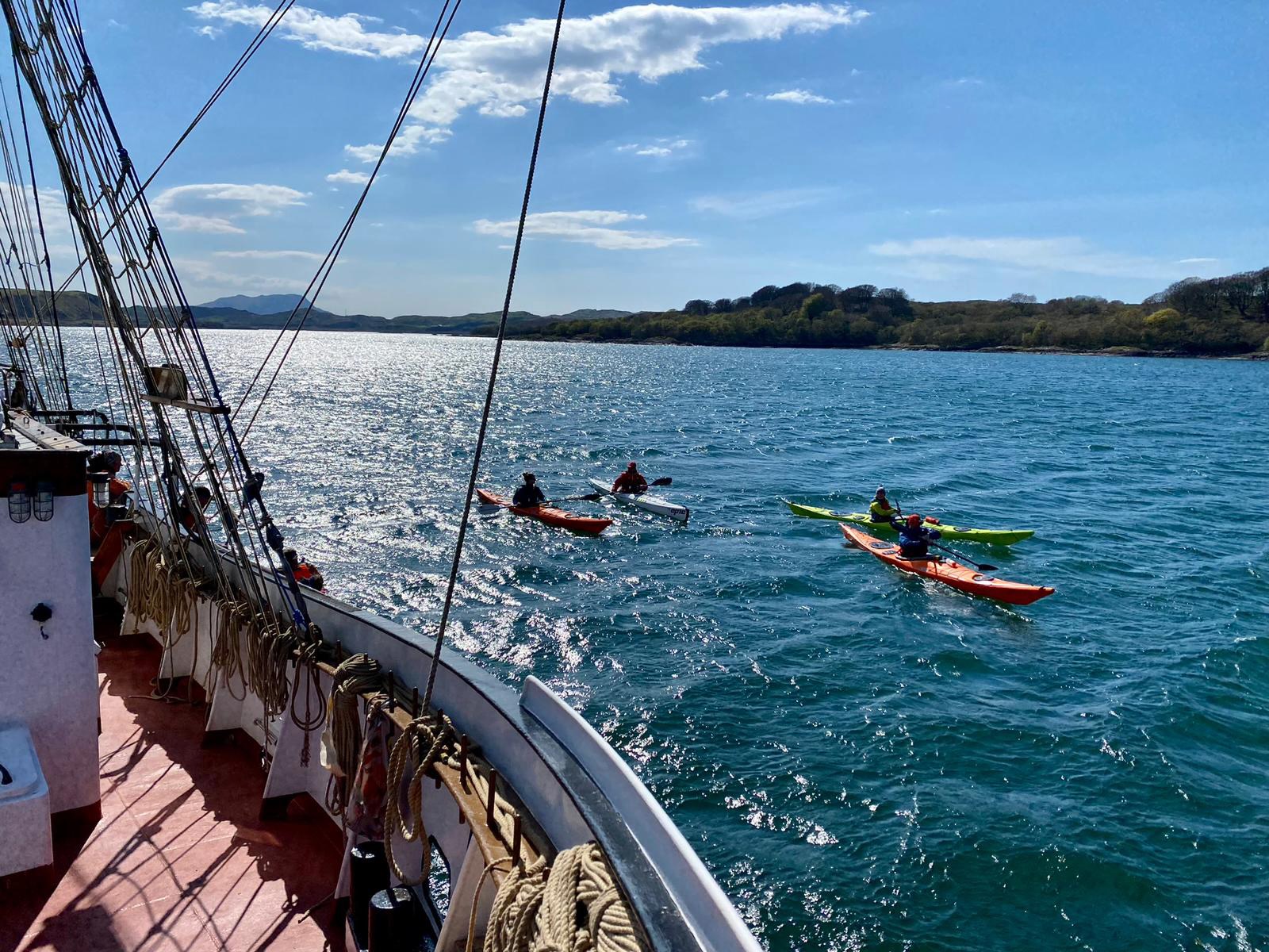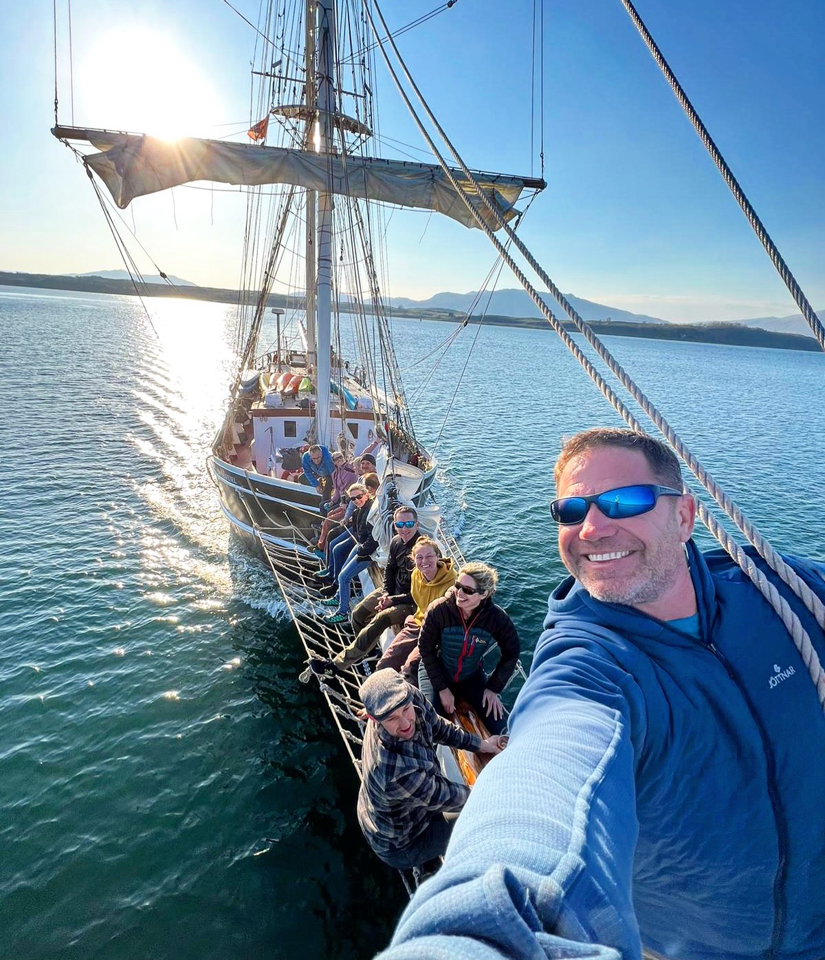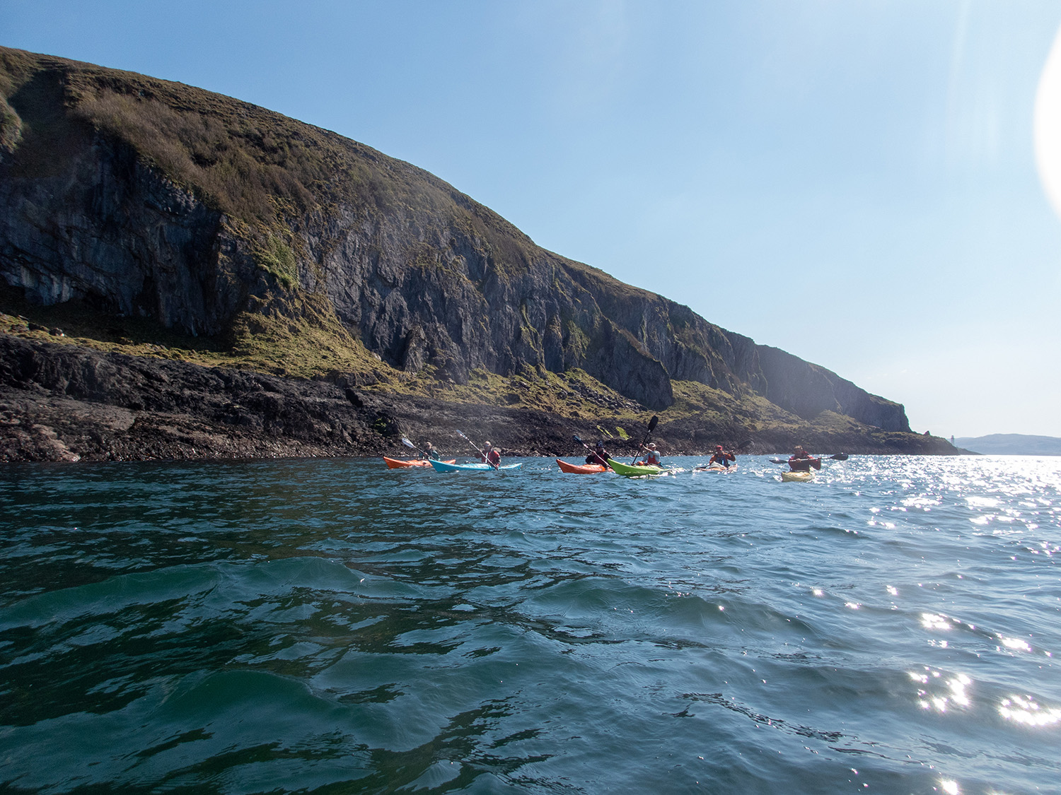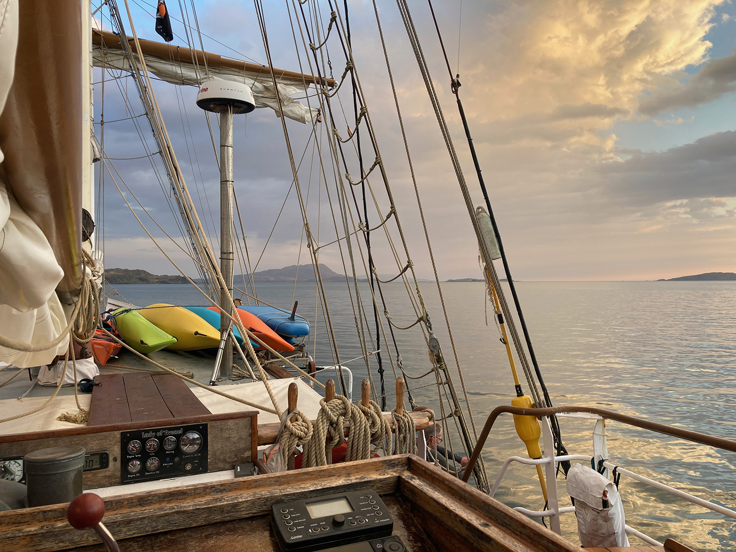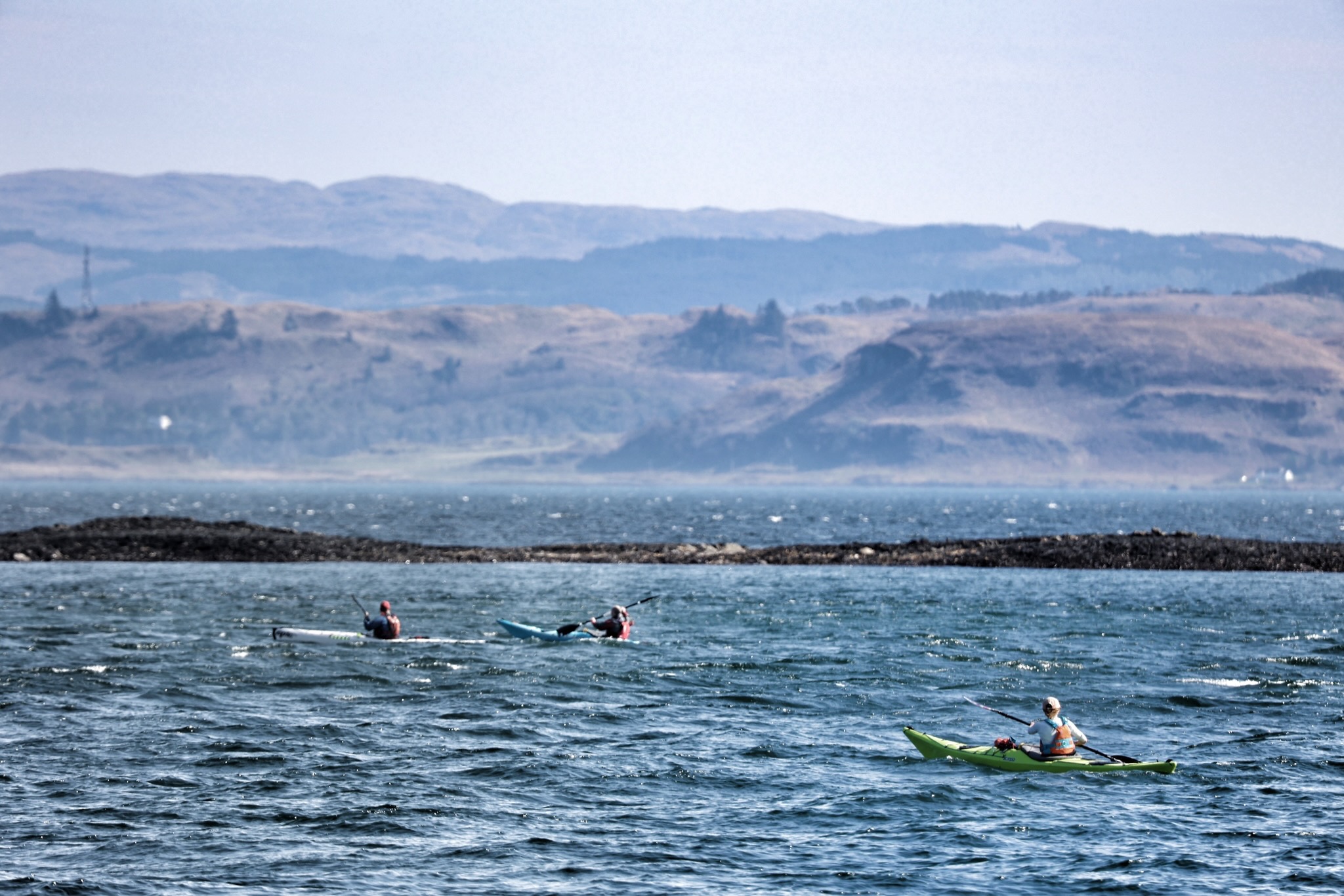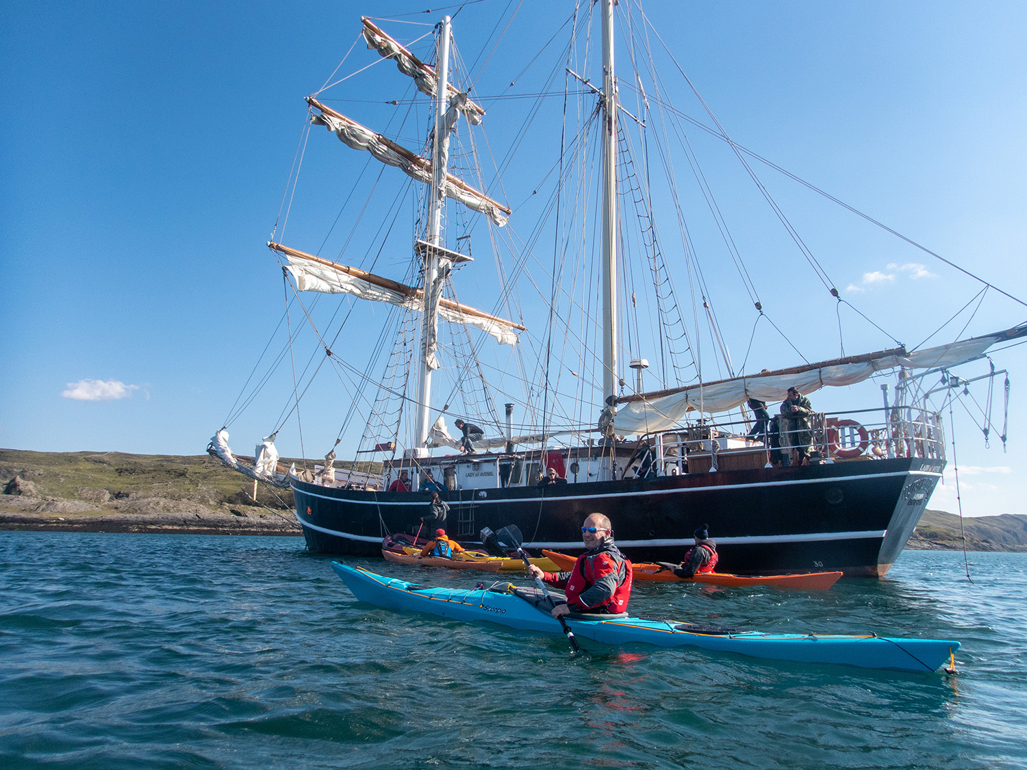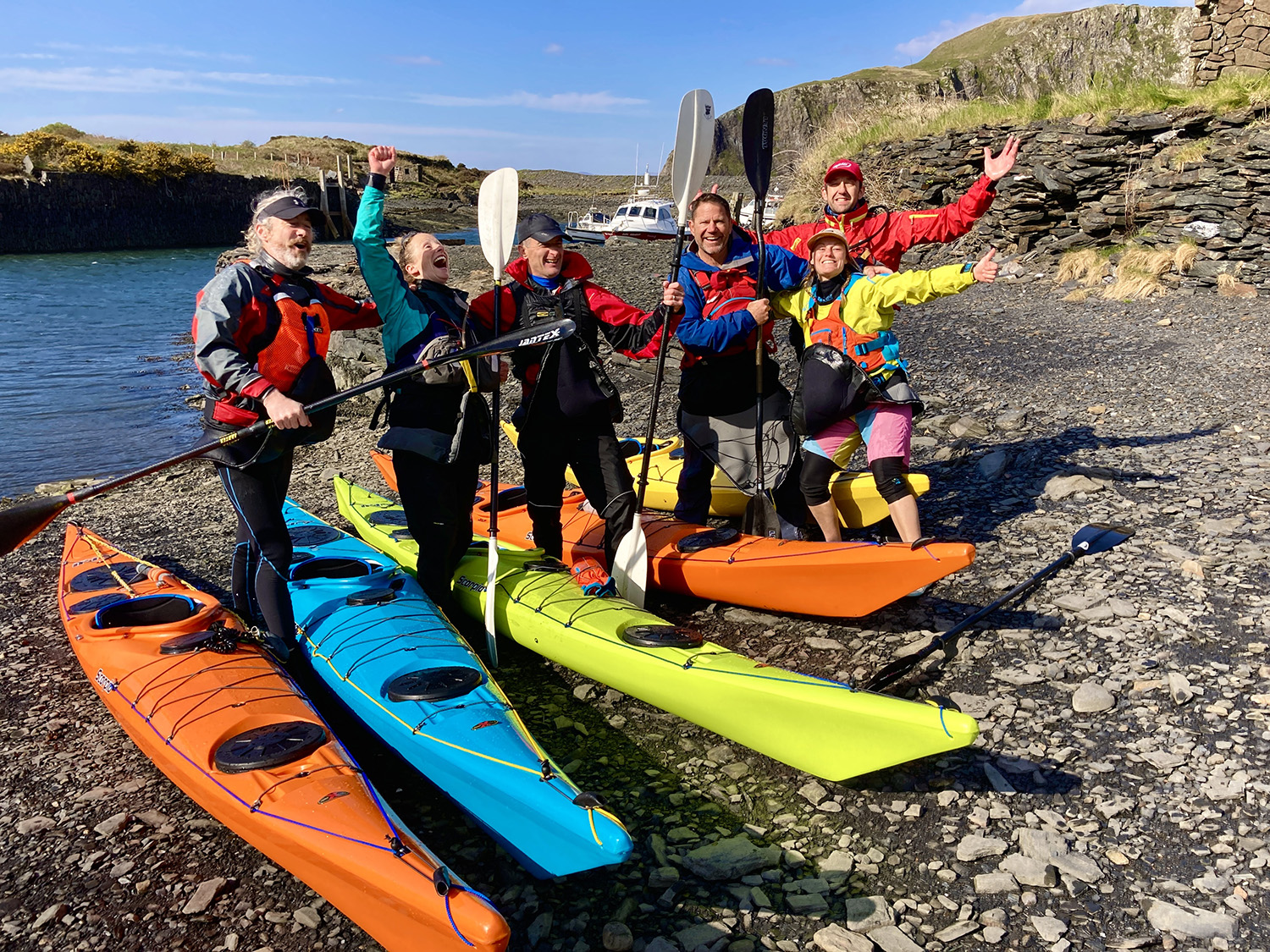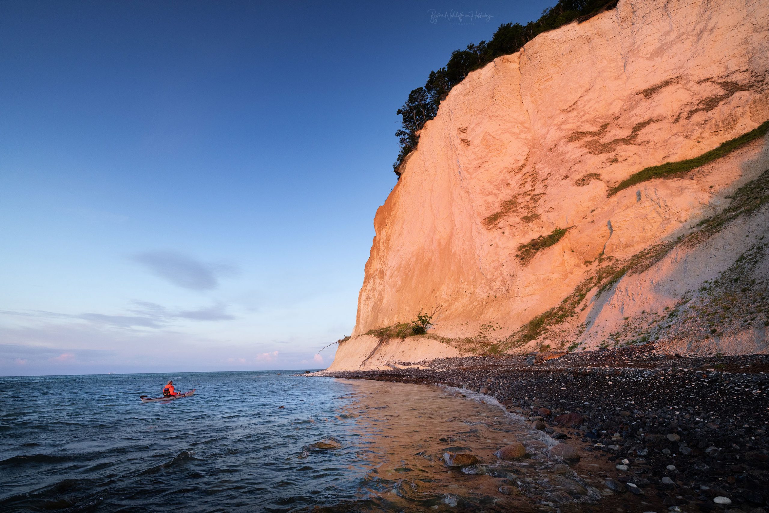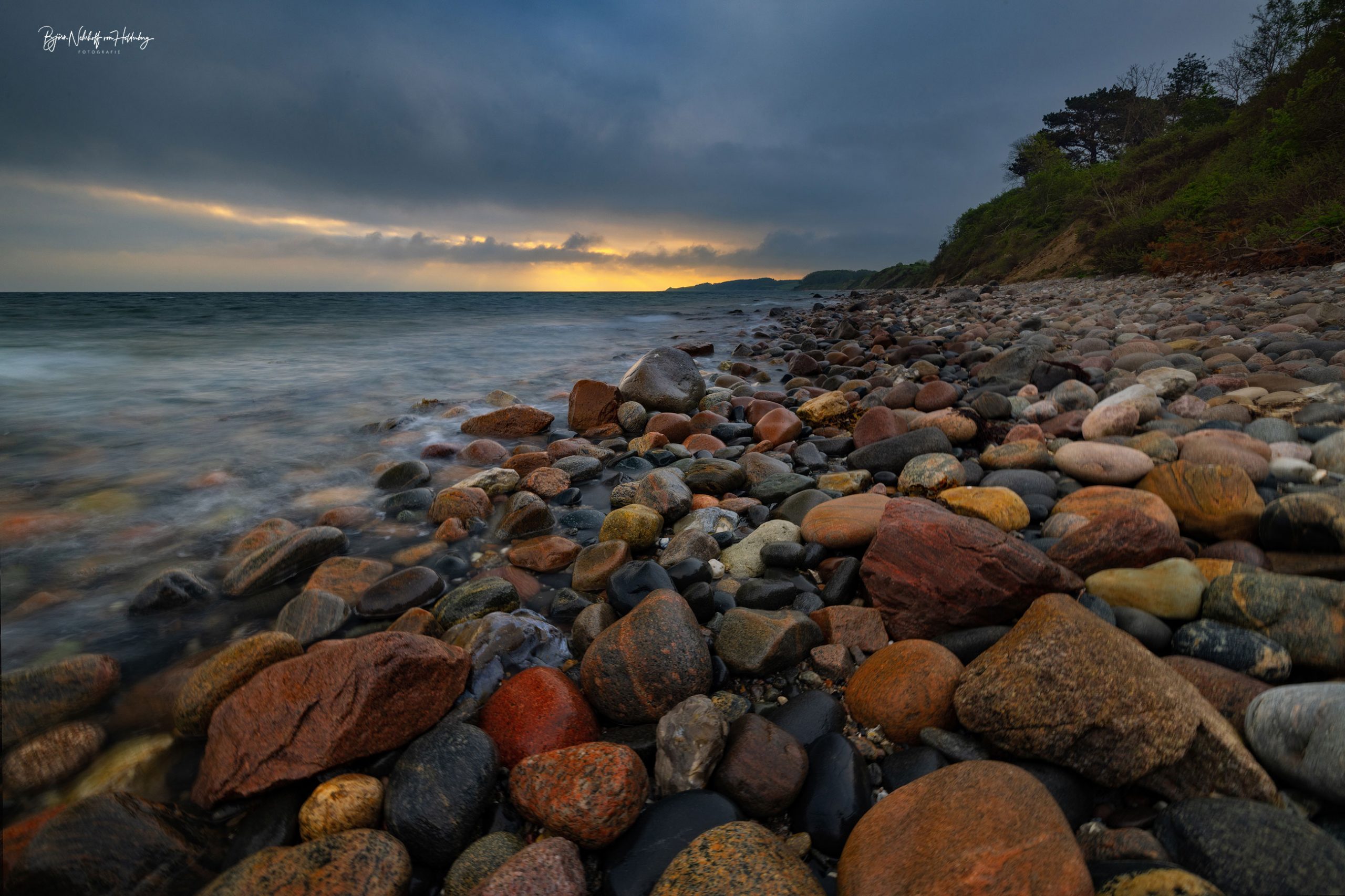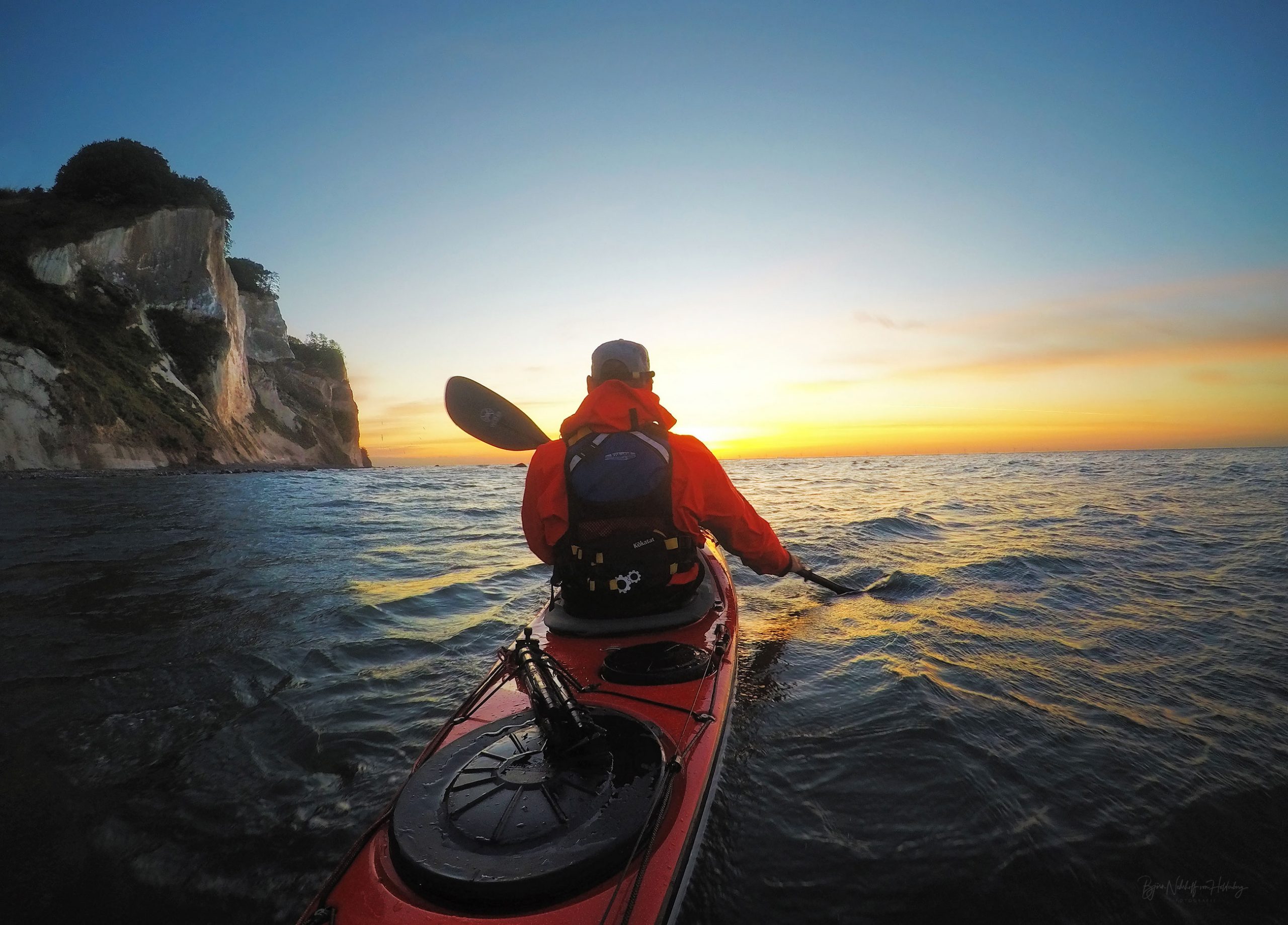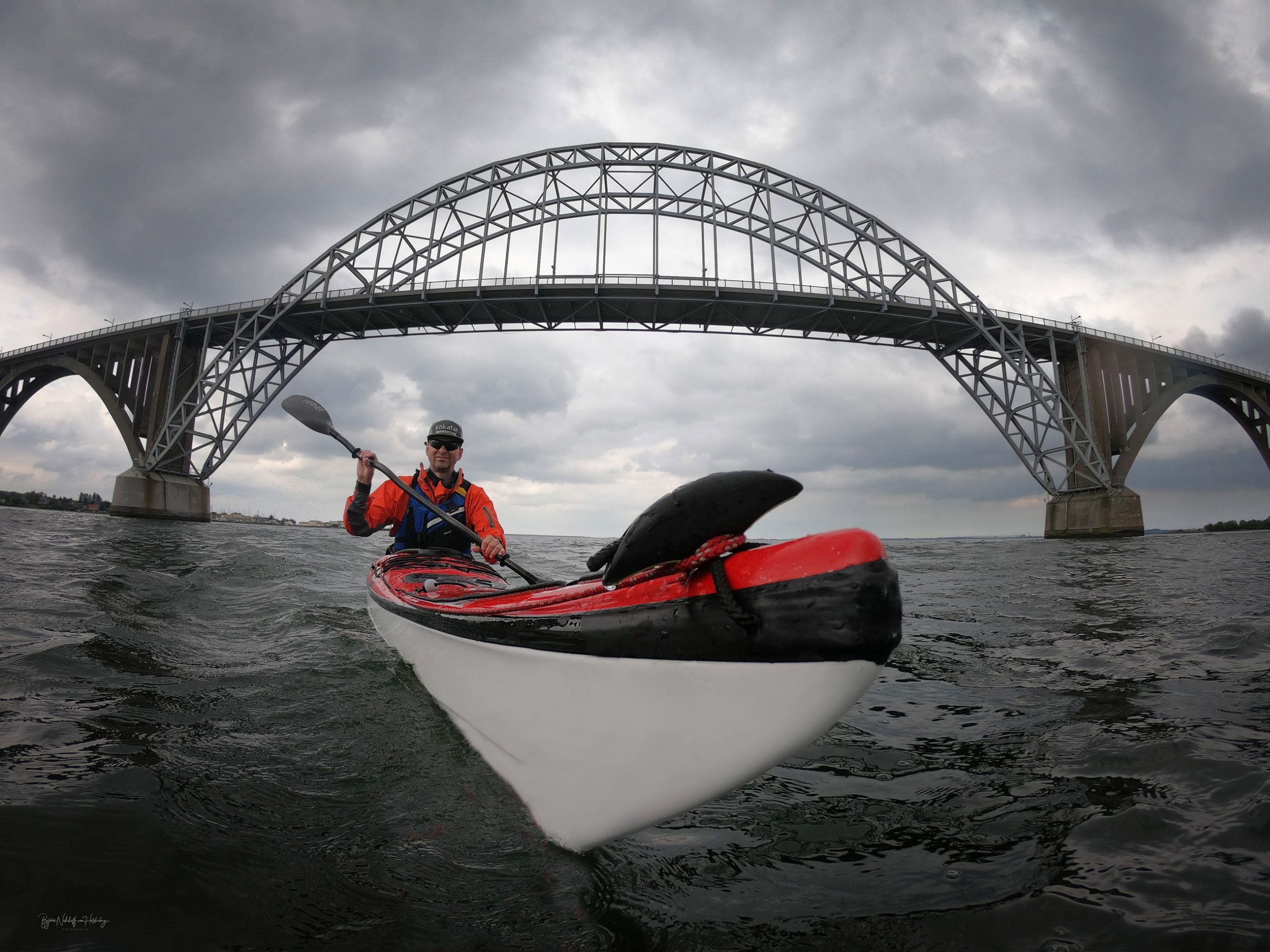

I’m about to set out on a Three Peaks expedition, linking Yr Wyddfa (Snowdon), Scafell Pike, and Ben Nevis by sea kayak and on foot. 750km+ of paddling, running, and figuring it out as I go.
But for me, it’s not just an adventure for the sake of adventure.
Last year, my wonderful mum was diagnosed with breast cancer. Again. There’s very little you can do in the situation; you just show up, give your support, but feel useless, wishing you could take even a tiny bit of it on for them. In true mum style, she just got on with it again, facing it with a quiet, fierce, and slightly sassy strength that I can’t really put into words. Thanks to the incredible NHS, her utter bravery, and her wonderfulness, she’s come through it once more.
So, this is my way of doing something with that feeling, turning it into something hard, something uncomfortable, and something that matters.
In true mum style, she never really spoke about herself after treatments, but more so about the people around her and how utterly shocked she was at the number of young people having treatment alongside her. Many of whom had initially been dismissed, only to receive a later diagnosis that was far more serious, some now facing terminal outcomes. Their experiences showed just how important it is to listen, to advocate for yourself, and to catch cancer early when it’s still treatable.
And so, my idea to paddle for CoppaFeel! was born – a charity that encourages people (especially young people) to check themselves, trust their bodies, and talk openly about cancer to help detect it early. CoppaFeel! takes something scary and makes it slightly easier to face.
This journey is my way of helping carry that message a little further, aiming to keep the conversation moving, encouraging you to get to know your body, to check, to listen, and not to put it off.
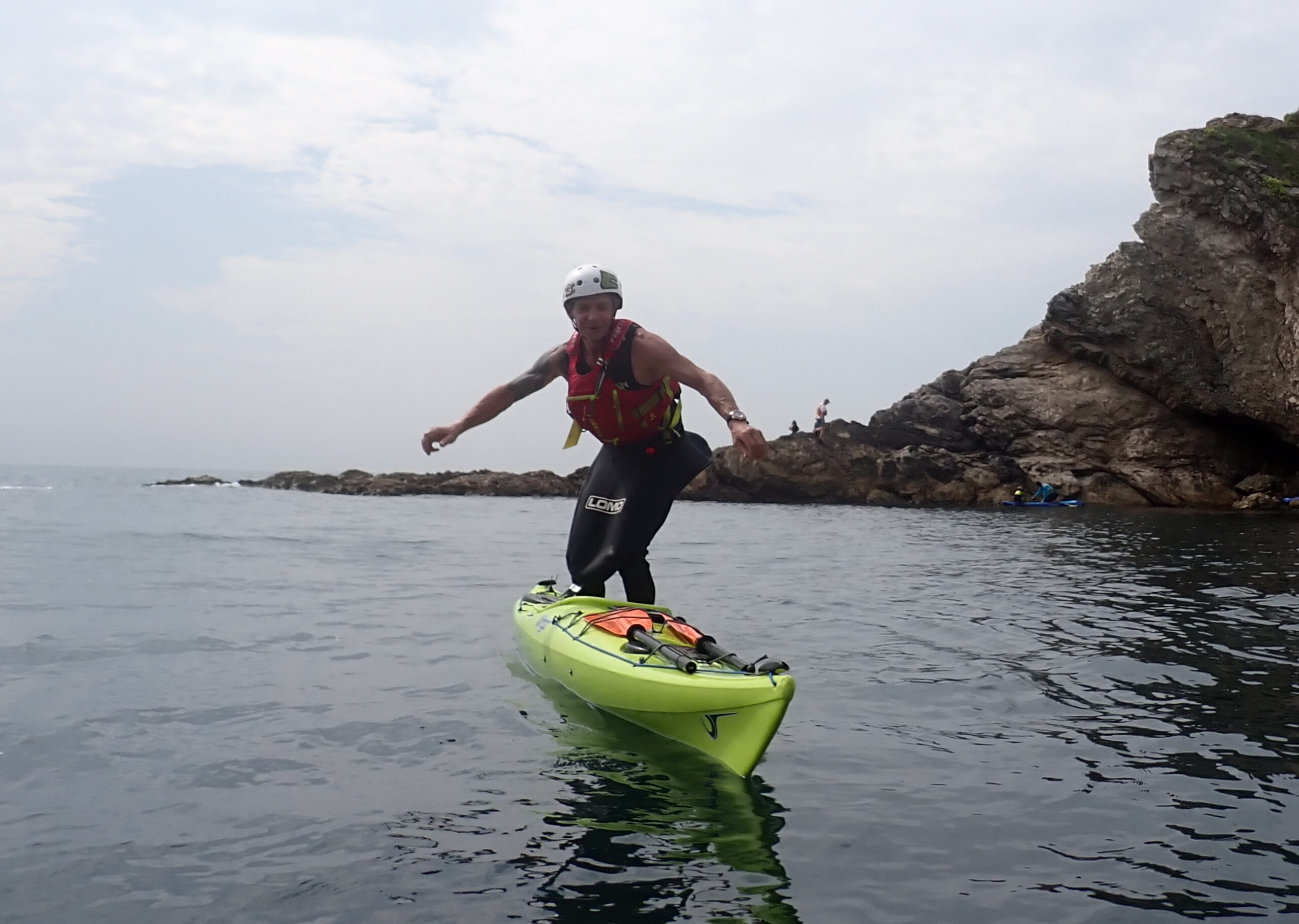
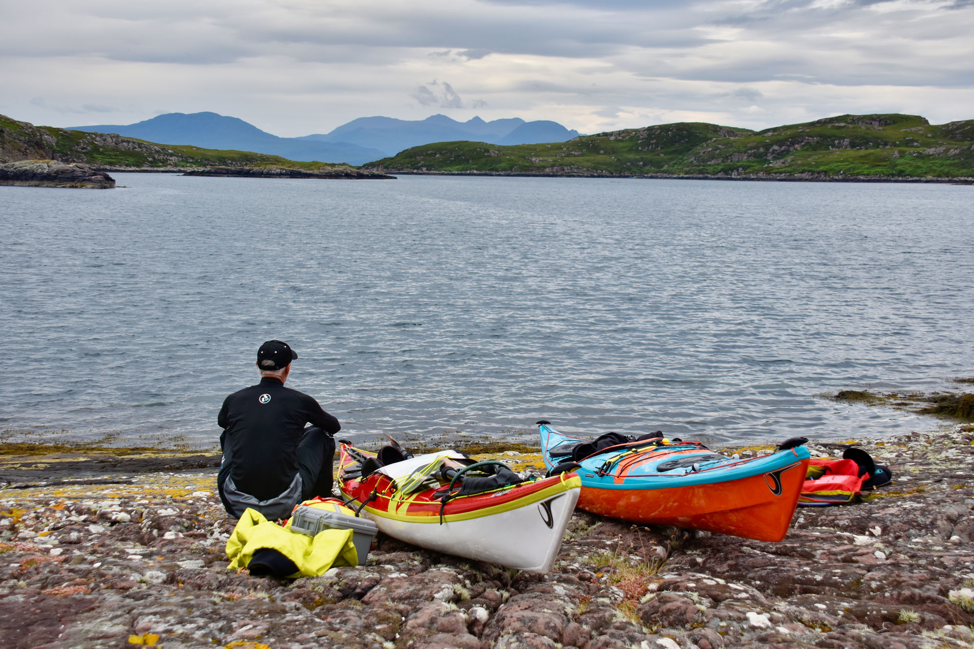
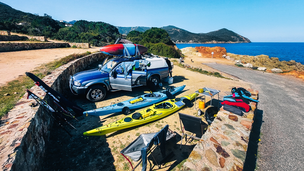
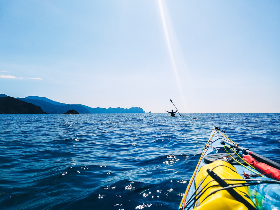
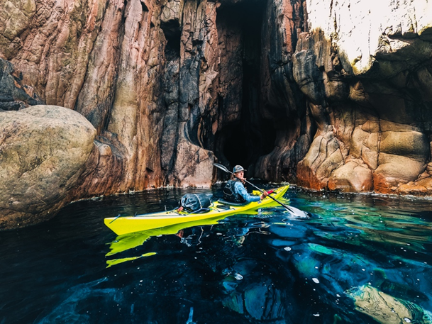
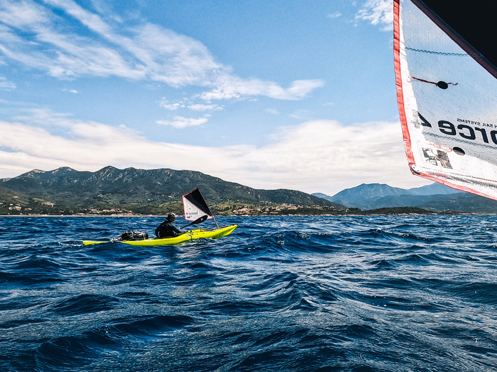
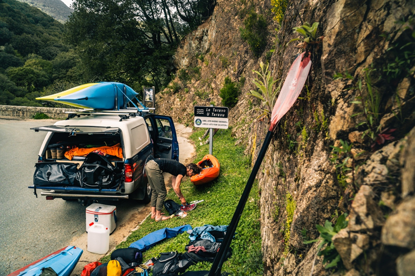
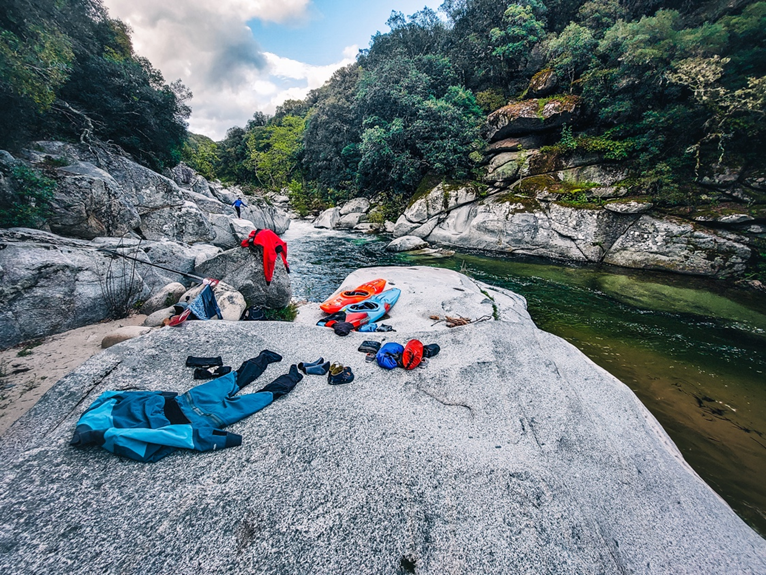
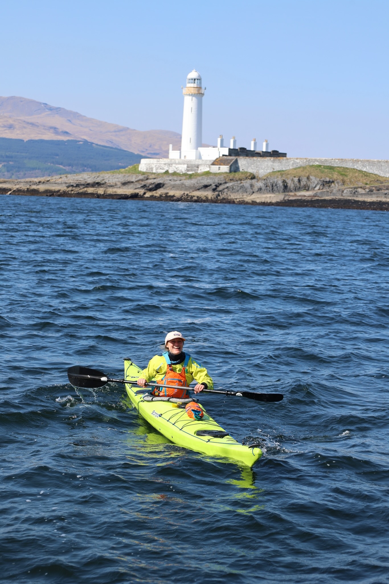
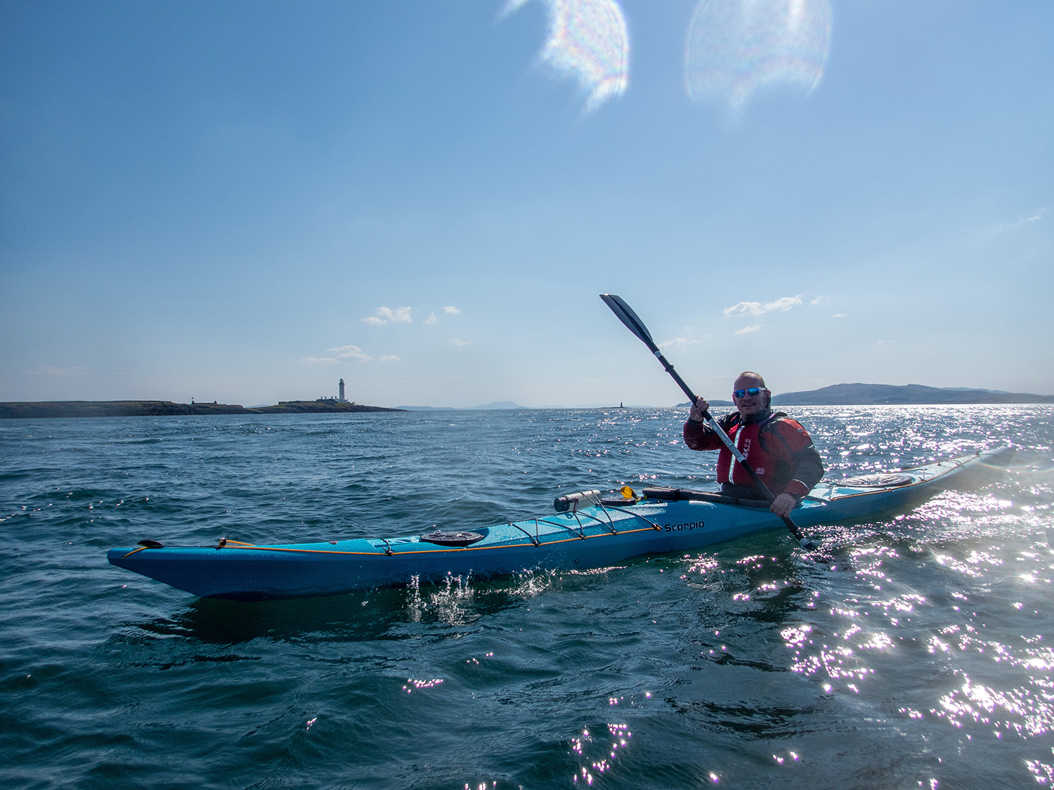
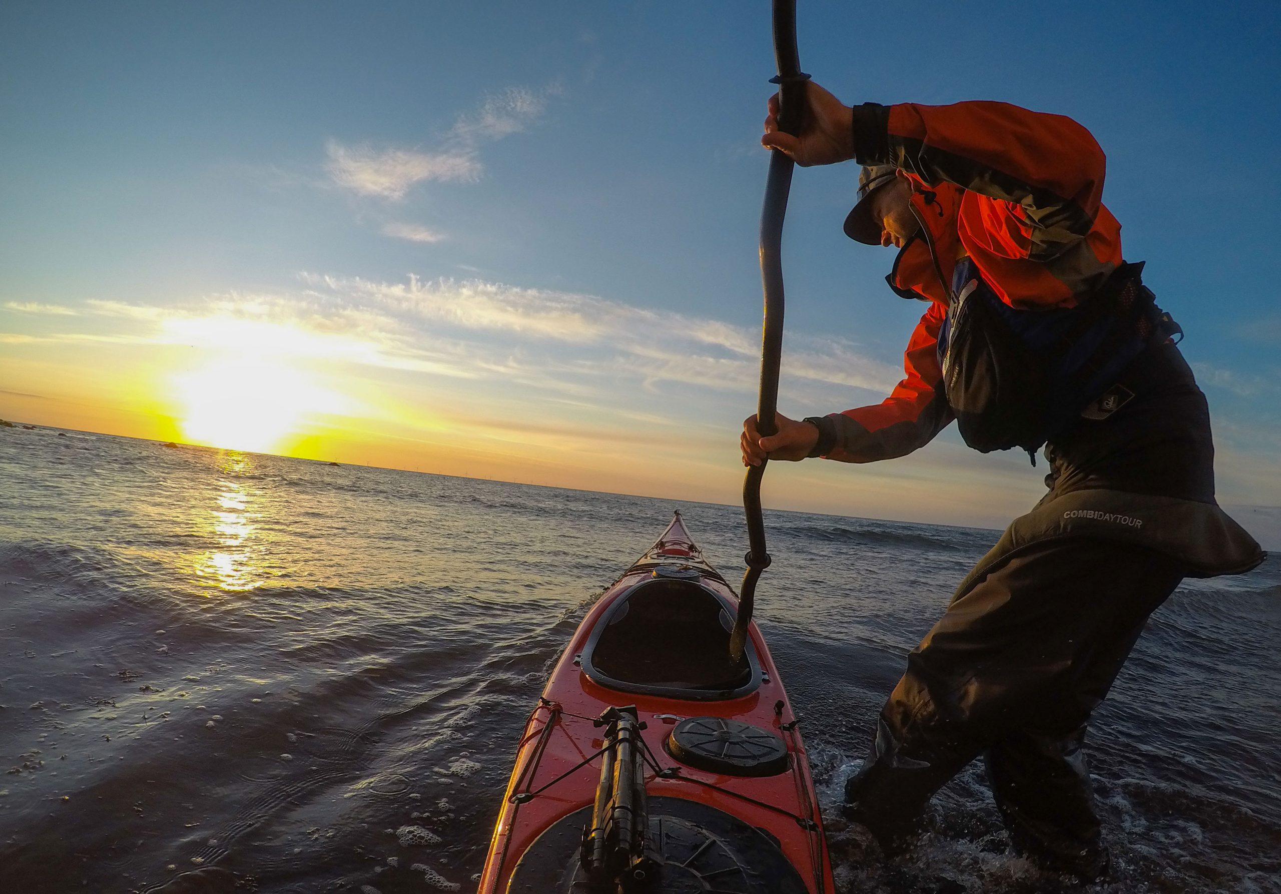
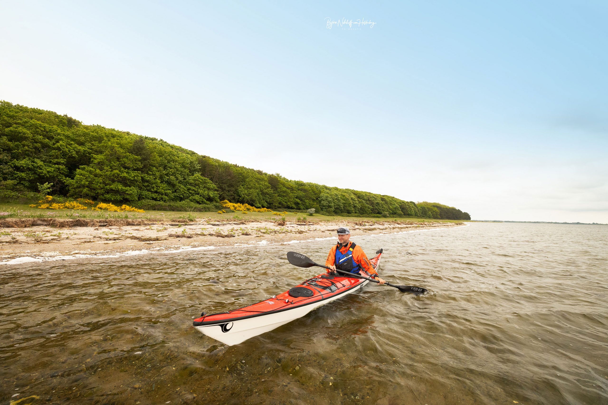
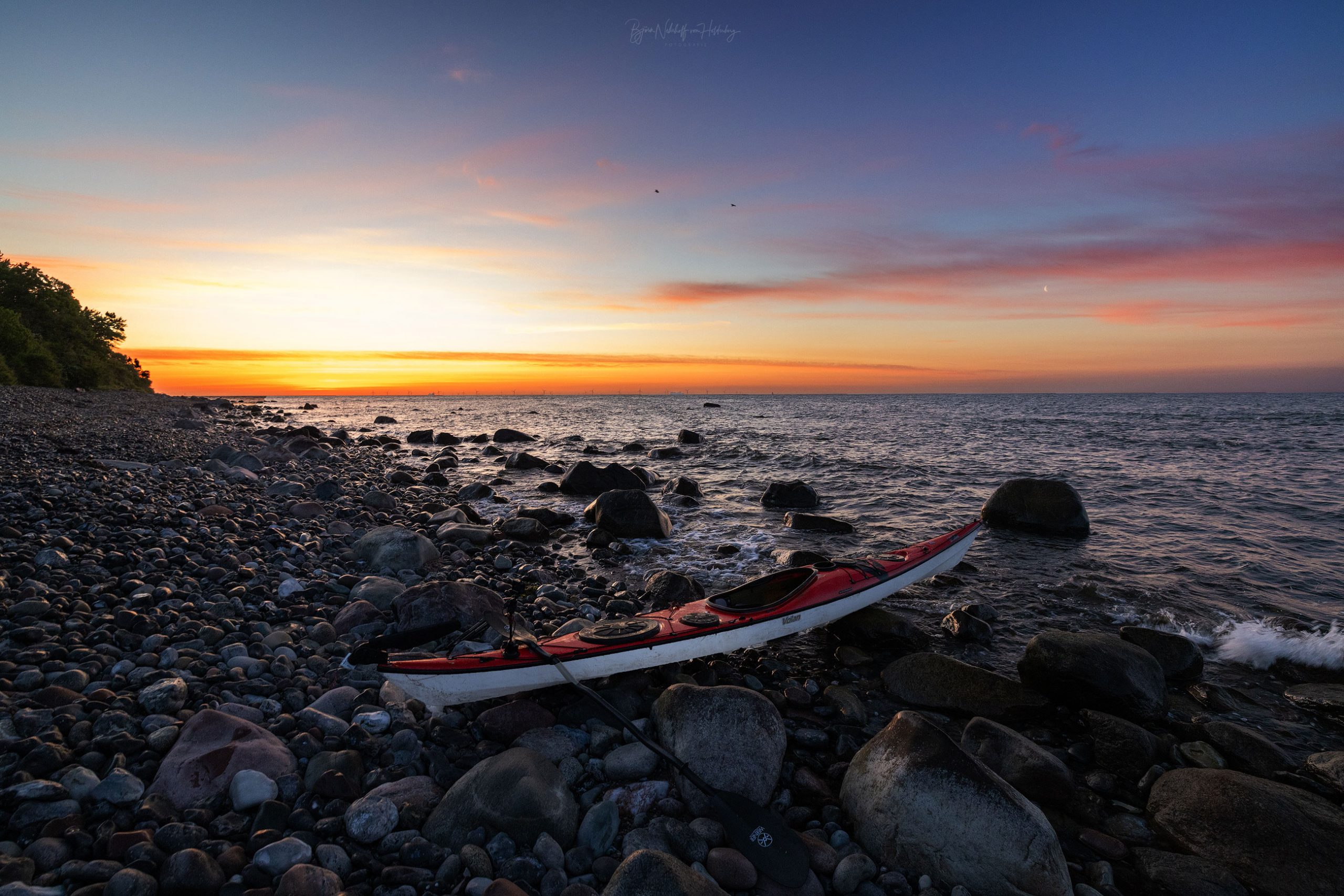
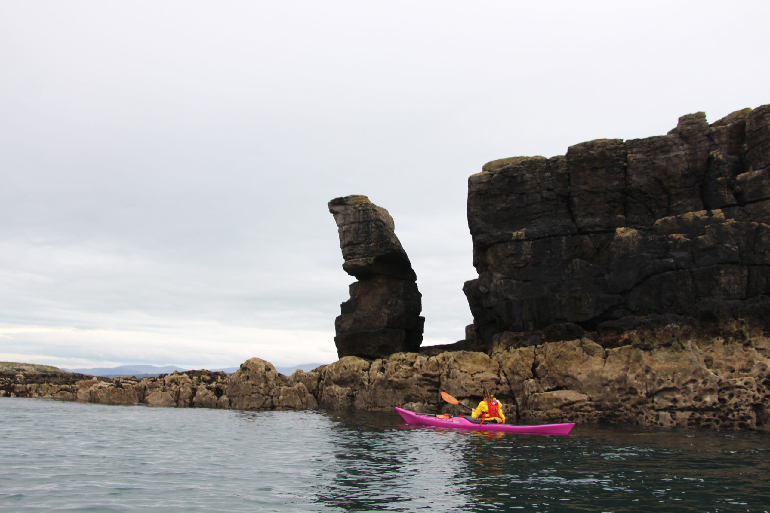
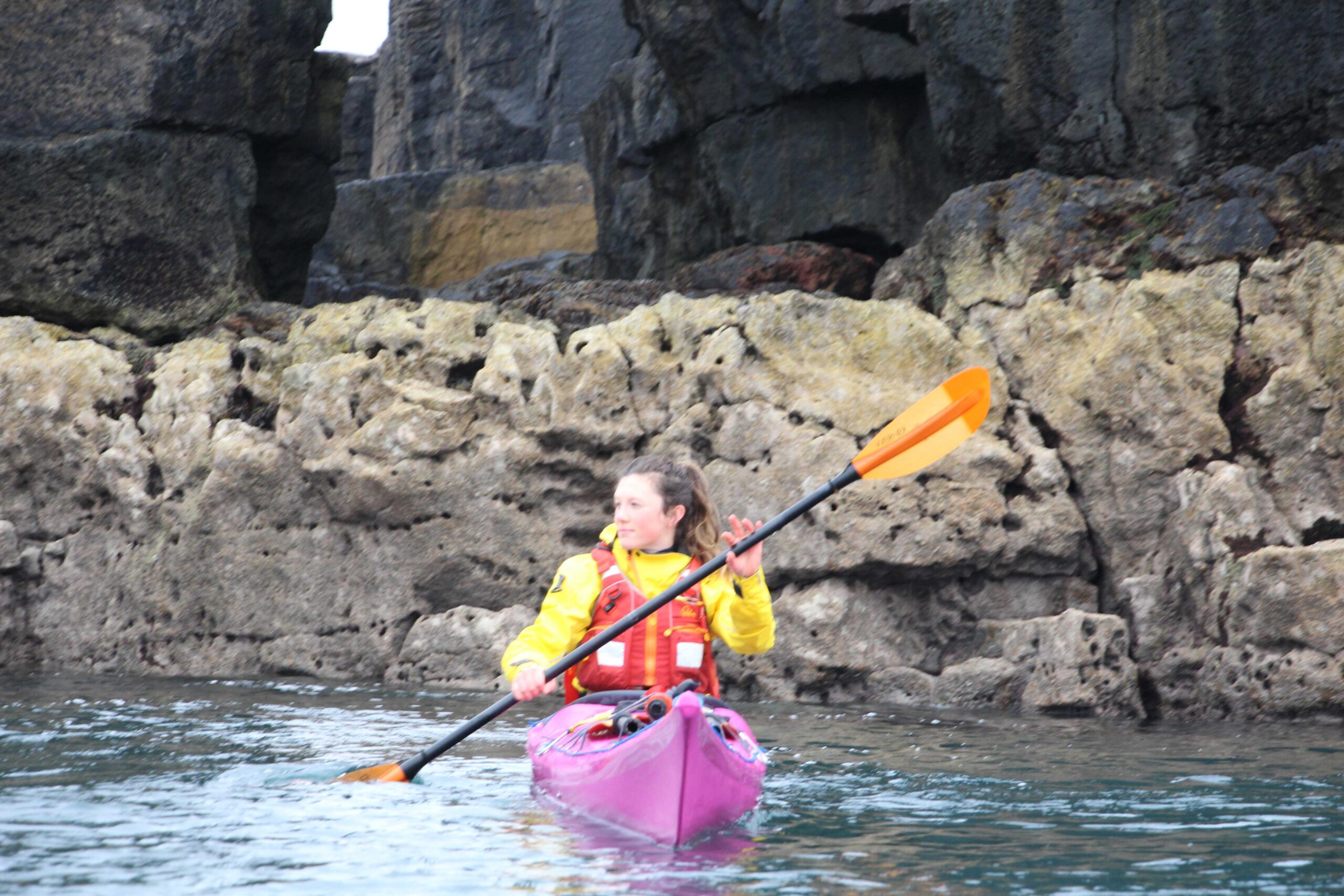
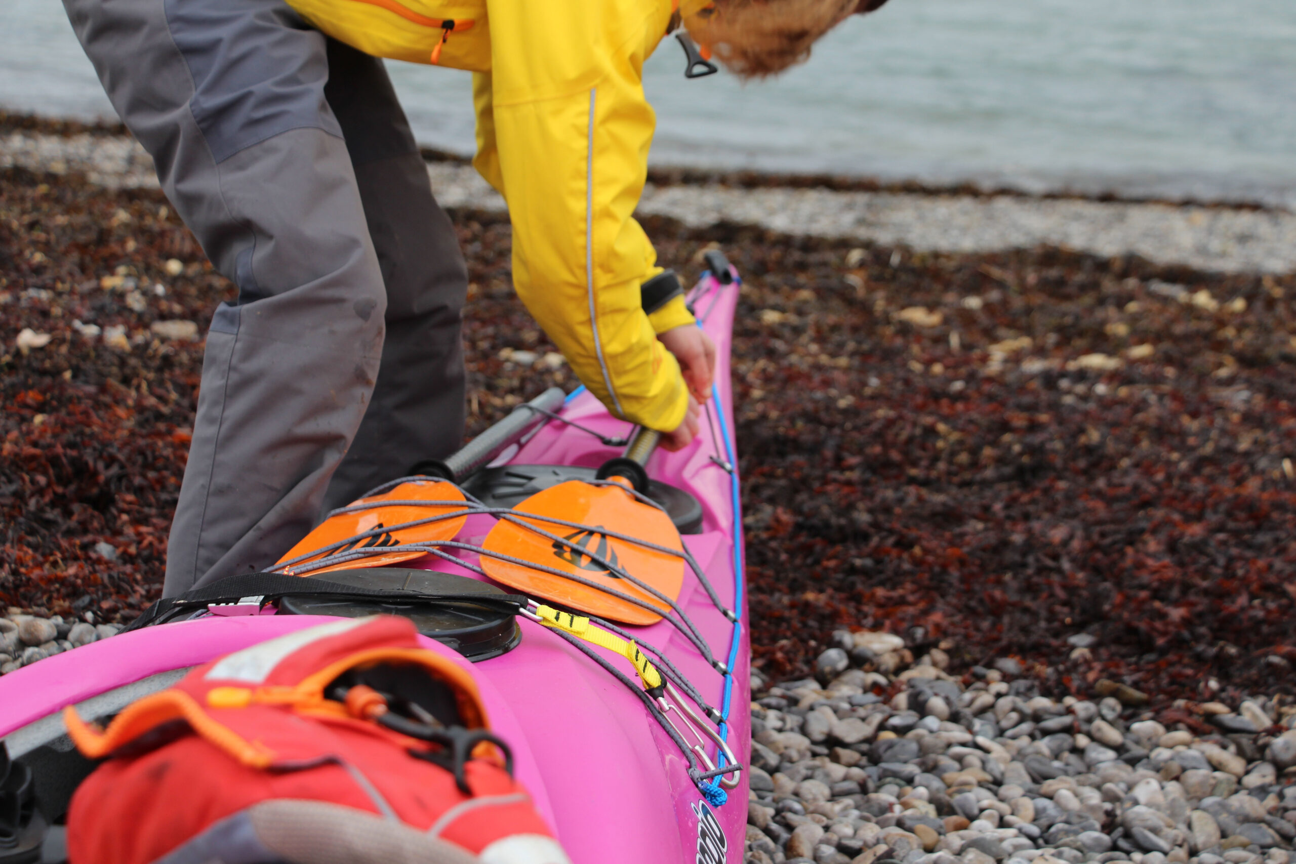
This journey will be way out of my comfort zone; it’s the biggest journey I’ve set out on to date. So, for the boat, I wanted something I knew, something I could trust, and something that would keep me company on the many miles that lay ahead.
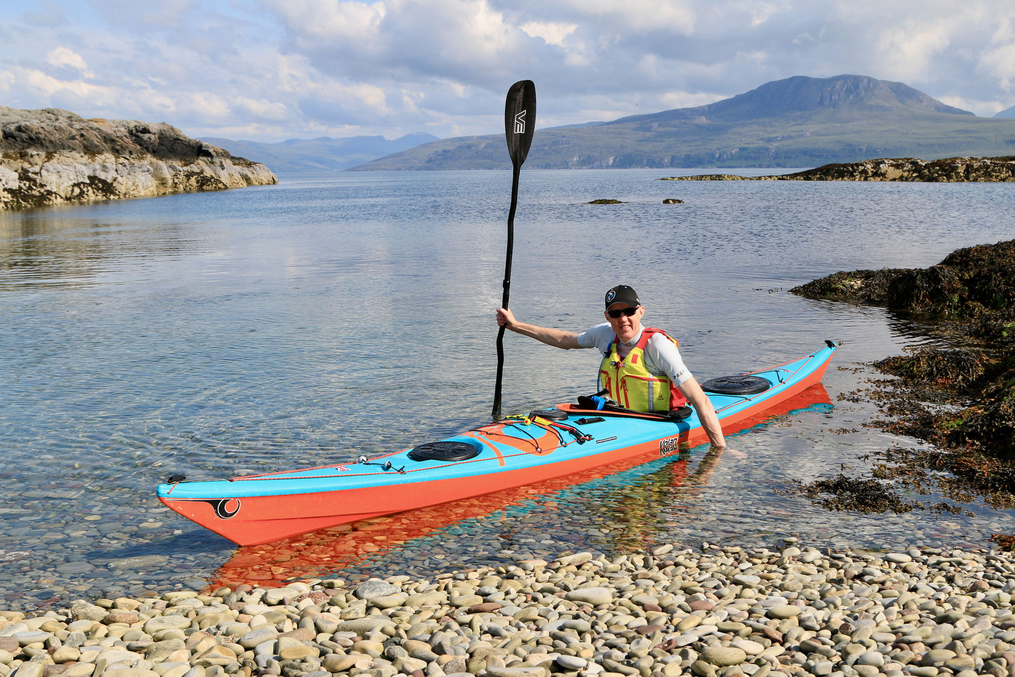
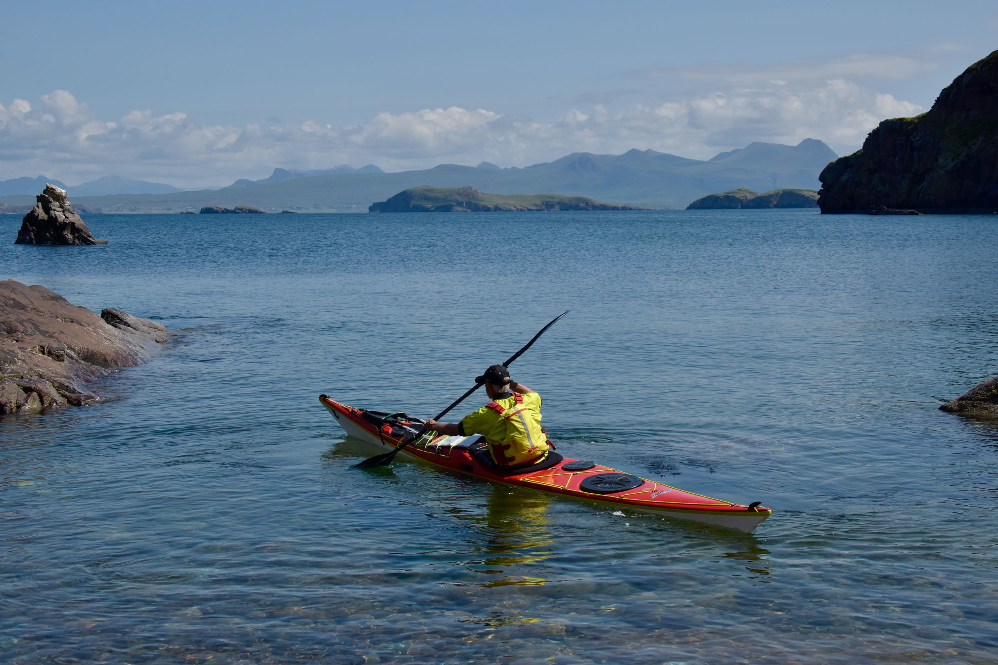
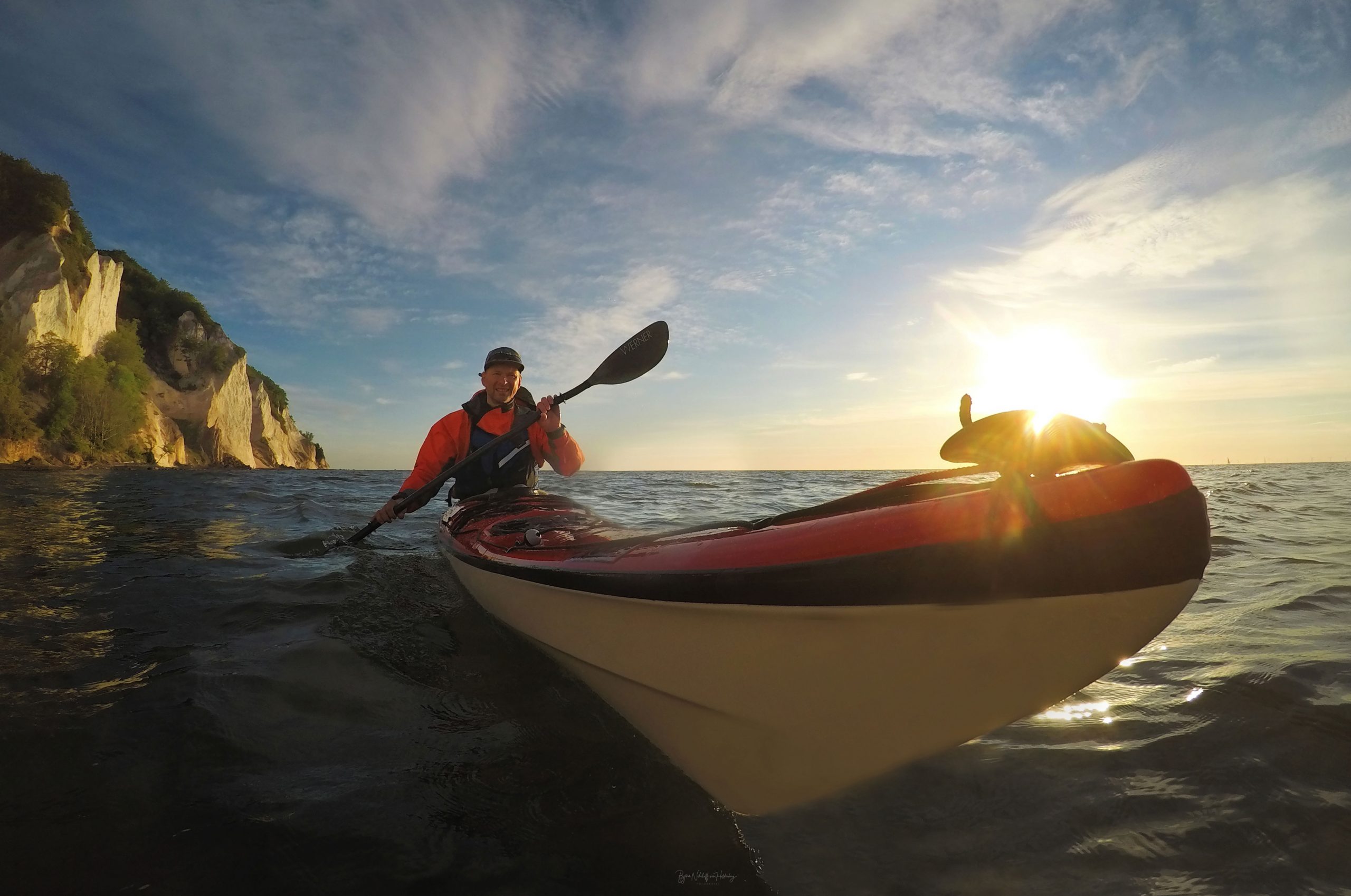
For me, the choice was obvious – I know and love the P&H Scorpio. It’s their flagship expedition boat for a reason, comfortable cruising over long distances, good tracking and yet still responsive when the conditions pick up, even loaded with kit. And the best part of all – P&H kindly made it in Sunset Pink! Not my usual colour choice, as someone who would rather blend in… but the perfect fit for the cause. Pink for CoppaFeel! serving as a reminder to check, to care, to be brave, and live vibrantly and fully. A conversation starter, even from a distance.
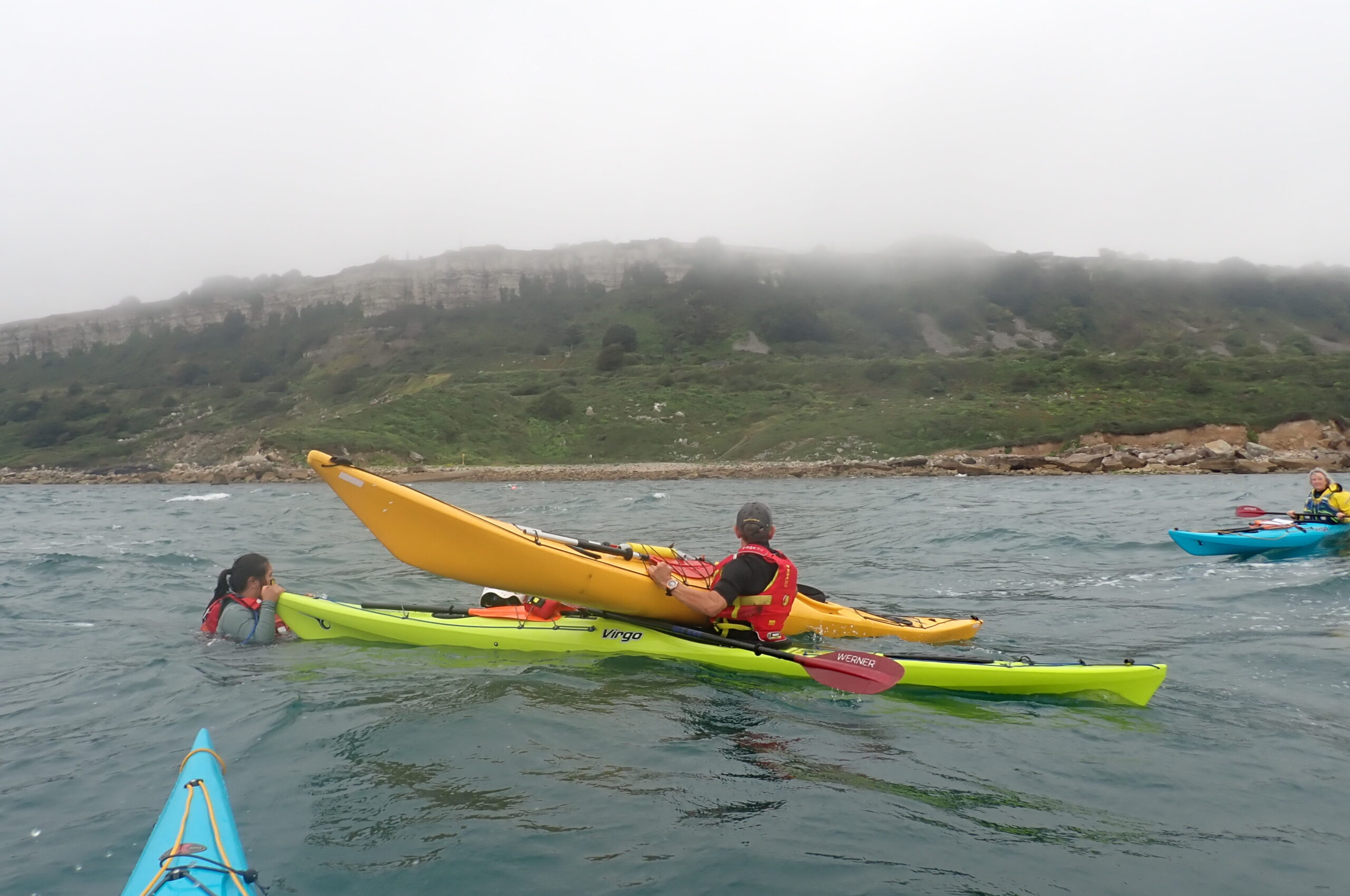
I’ve not even set off yet and already had a fair few tears, a few times bailing off the water, and lots of self-doubt, but I keep coming back to the same thought; if my mum and many others can go through what they have, without a choice, with such quiet determination and courage, then I can find that in myself to do something that scares me to, even if I don’t feel ready.
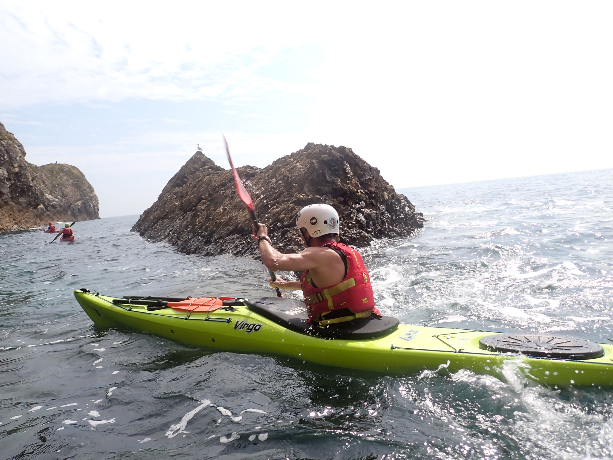
The trip for me isn’t about the Three Peaks or paddling. It’s about showing up, challenging my paddling, my tidal planning, and, no doubt, my patience (thanks in advance for UK weather)… doing it scared and figuring it out as I go, all in the name of a fantastic cause and using the journey to carry a message. It’s about bravery in all its forms; the everyday kind, the quiet kind, and the kind we find when we face something that scares us, especially when we’re not given the choice.
I’m incredibly grateful to be supported by Online Sea Kayaking through this expedition and to have the opportunity to make a documentary of the journey, the highs, the lows and the why behind it all. Their platform has equipped me to become the paddler I am today and has given me the knowledge to piece together an expedition such as this. I hope this journey can show that even people with a lot of self-doubt can take on big things, too, and show bravery like my mum.
Should you wish to and are able to support, donate, share, or follow the journey, it would mean an awful lot. Links to my Just Giving page and Instagram are below:
justgiving.com/page/tidestrailsandtits
This one’s for my mum and for anyone learning to face something hard, one step (or paddle stroke) at a time.
So here’s to grabbing life by the boobs and paddling through whatever comes next!